| | 
(Southbound A25 ; Montréal, Québec)
--Photo taken by Carlos Rogers c. 2020s ✔
Viatype:F4-D
Map Location: 45.60067, -73.55706
English
| français
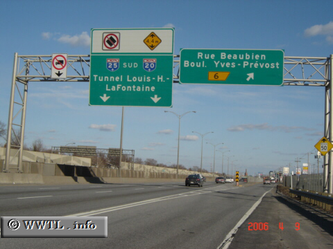
Autoroute 25, a widely-used thoroughfare
for eastern Montréal motorists, connects Saint-Jacques with A20 at the eastern
bank of the Saint Lawrence River. Interestingly, A25 has two unique
characteristics. First, its crossing of the Saint Lawrence River is via a
tunnel. Second, the route loses its freeway-status between A40 and
Laval. Instead, it uses a boulevard (Boulevard Pie IX) before upgrading back
to freeway-status in Laval city-limits.
| |