English | français The Champlain Bridge crosses the Saint Lawrence River in southeastern Montréal.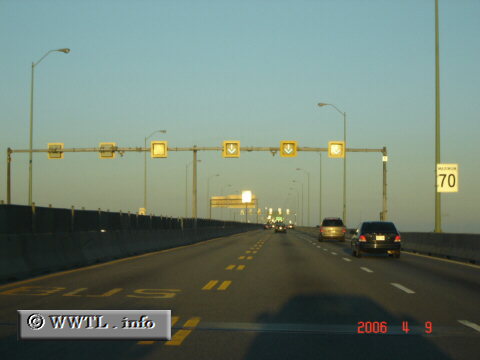
(Eastbound Pont Champlain [A10/A15/A20]; Montréal, Québec)
--Photo taken by Carlos Rogers c. 2020s ✔
Viatype:F6-D
Map Location: 45.46927, -73.52959![]()
Distance Chart for
Québec Autoroute 15
Québec Autoroute 15
| Blackpool, Québec | |||||||
| 63 | Montréal | ||||||
| 135 | 72 | Saint-Saveur, Québec | |||||
| 164 | 101 | 29 | Sainte-Agathe-des-Monts, Québec | ||||
Approximate distance in km
(1 km = 0.621 miles)
(1 km = 0.621 miles)