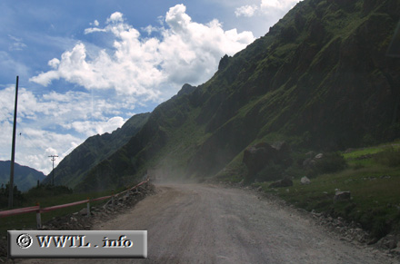
(Northbound National Route 28; Cusco)
--Photo taken by Carlos Rogers in 2011 ✔
Viatype:U1-U
English | español
This highway follows the Urubamba River. In April 2011, pattern shifts in the river caused the main highway to crack. This makeshift detour was put into place.
Distance Chart for
National Route 28
National Route 28
| Calca | |||||||
| 50 | Cusco | ||||||
| 89 | 39 | Ollantaytambo | |||||
| 231 | 142 | 89 | Quillabamba | ||||
Approximate distance in km
(1 km = 0.621 miles)
(1 km = 0.621 miles)