| | 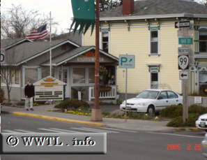
(Northbound Lithia Way; Ashland, Oregon)
--Photo taken by Carlos Rogers c. 2000s ✔
Viatype:S2-U
Map Location: 42.19772, -122.71417
Oregon State Route 99 roughly follows Federal Route 99's former path in southern Oregon. At
Ashland city-centre, northbound and southbound traffic split into parallel
one-way streets.
Next
photo>>>
| |