| | 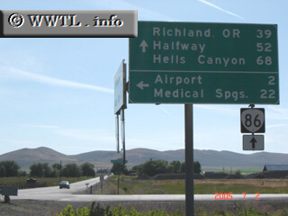
(Eastbound State Route 86; Baker County, Oregon)
--Photo taken by Carlos Rogers in 2005 ✔
Viatype:S4-D
Map Location: 44.80331, -117.79937
Route 86 traverses through hilly, wildgrass terrain between Baker City and the
Hells Canyon National Recreation Area.
Next
photo>>>
| |