United States
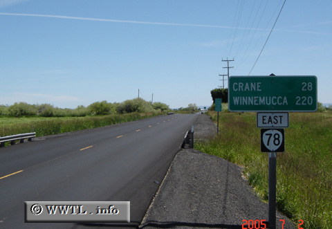
(Eastbound State Route 78; Burns, Oregon)
--Photo taken by Carlos Rogers in 2005
✔
Viatype:
S2-U
In southeastern Oregon, Route 78 is a critical connector between the Federal Route 20/395 duplex and Federal Route 95.
Share with:
Share information about this road!
Distance Chart for
Oregon 78
Burns, Oregon
148
Burns Junction, Oregon
61
87
New Princeton, Oregon
Approximate distance in km
(1 km = 0.621 miles)