United States
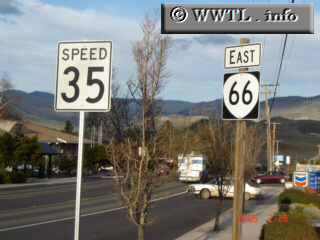
(Eastbound Ashland Street; Ashland, Oregon)
--Photo taken by Carlos Rogers c. 2000s
✔
Viatype:
S4-D
Map Location:
42.18539, -122.664
State Route 66 provides a direct-connection between Ashland and Klamath Falls.
Next photo>>>
Share with:
Share information about this road!
Distance Chart for
Oregon 66
Ashland, Oregon
102
Klamath Falls, Oregon
63
39
Mountain View, Oregon
Approximate distance in km
(1 km = 0.621 miles)