United States
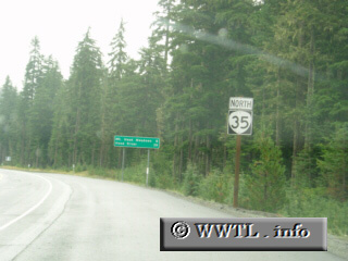
(Northbound State Route 35; Hood River County, Oregon)
--Photo taken by Dan Peri c. 2000s
✔
Viatype:
S2-U
Map Location:
45.28458, -121.70472
Highway 35 travels slightly east of Mt. Hood, and funnels traffic into local campgrounds.
Share with:
Share information about this road!
Distance Chart for
Oregon 35
Government Camp, Oregon
68
Hood River, Oregon
10
58
Odell, Oregon
Approximate distance in km
(1 km = 0.621 miles)