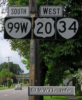
(Southbound State Route 99W/Westbound Federal Route 20/Former
Oregon State Route 34; Corvallis, Oregon)
--Photo taken by Chris Elbert c. 2000s ✔
Viatype:S2-U
Map Location: 44.55863, -123.26516![]()
Corvallis and Lebanon are both connected by Oregon State Route 34. Most recently, its
westernmost stretches became rerouted. Thus in 2005, Federal Route 20 and
Oregon State Route 99W no longer multiplex with Oregon State Route 34.
| Distance Chart for Oregon 34
Approximate distance in km (1 km = 0.621 miles) | ||||||||||||||||||