United States
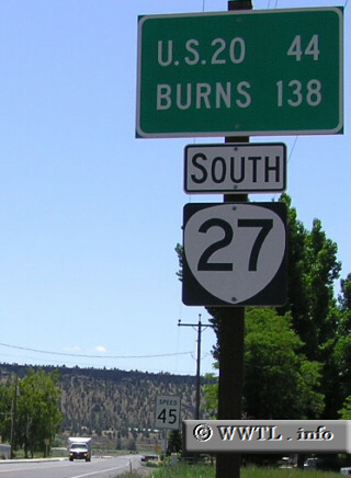
(Southbound Main Street; Prineville, Oregon)
--Photo taken by Chris Elbert c. 2000s
✔
Viatype:
S2-U
Map Location:
44.29232, -120.84547
Route 27 is one of the most unique highways in Oregon. The southern portion of its journey is unpaved.
Share with:
Share information about this road!
Distance Chart for
Oregon 27
Junction Federal Route 20
73
Prineville, Oregon
57
30
Roberts, Oregon
Approximate distance in km
(1 km = 0.621 miles)