| | 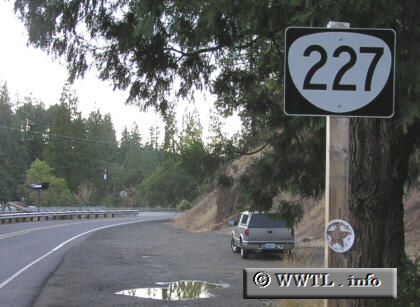
(Northbound State Route 227; Trail, Oregon)
--Photo taken by Chris Elbert c. 2000s ✔
Viatype:S2-U
Map Location: 42.64807, -122.80898
Oregon State Route 227, an eleven-mile corridor in southern state, connects the community of Trail with Douglas County. The
route's northern terminus abruptly occurs at the Jackson-Douglas County line,
where Douglas County Route 1 overtakes the path into Canyonville.
| |