| | 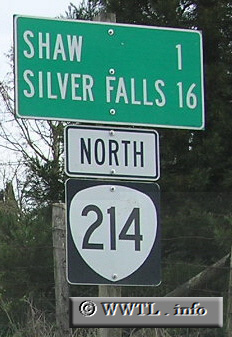
(Northbound State Route 214.; Marion County, Oregon)
--Photo taken by Chris Elbert in 2005 ✔
Viatype:S2-U
Map Location: 44.87284, -122.89697
Highway 214 forms an direction-ambiguous path from Shaw to Street Paul.
Near the Silver Falls State Park, the route travels opposite its signed
direction of travel.
| |