| | 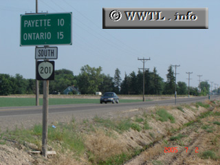
(Southbound State Route 201; Malheur County, Oregon)
--Photo taken by Carlos Rogers in 2005 ✔
Viatype:S2-U
Map Location: 44.21393, -116.98364
Oregon State Route 201 runs along the eastern fringes of Malheur County. For much of
its routing, the Snake River is in clear view. Just north of Ontario, the
route travels inland to connect various agricultural fields.
Next
photo>>>
| |