| | 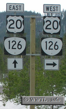
(Junction State Route 126/Federal Route 20; Santiam Junction, Oregon)
--Photo taken by Chris Elbert c. 2000s ✔
Viatype:S2-U
Map Location: 44.43752, -121.94376
Route 126 is one of the longest state routes in Oregon. It spans from
Florence at the Pacific coast with Prineville in Crook County.
Next photo>>>
| |