| | 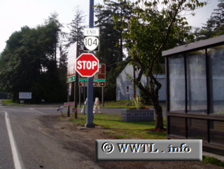
(End westbound Oregon State Route 104; Fort Stevens, Oregon)
--Photo taken by Dan Peri c. 2000s ✔
Viatype:S2-U
Map Location: 46.19928, -123.95473
Highway 104 connects Federal Route 101 and
Astoria with Fort Stevens National Park. This junction is not too far from
the mouth of the Columbia River, where William Clark and Meriwether Lewis ended
the Oregon Trail expedition.
Next
photo>>>
|
|