| | 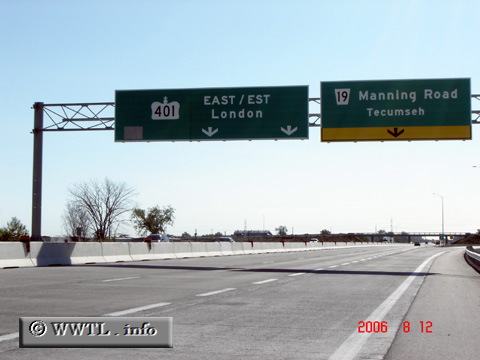
(Eastbound Provincial Route 401; Essex County, Ontario)
--Photo taken by Carlos Rogers in 2006 ✔
Viatype:F4-D
Map Location: 42.24079, -82.88038
English | français
Route 401 is the longest of
Ontario highways. The route stretches from Windsor in the west, through
London, Woodstock and Cambridge, into Toronto and ultimately towards the
Quebecan border at Beaudette.
Next
photo>>>
| |