| | 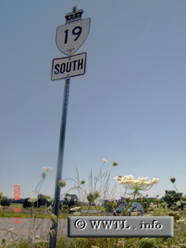
(Southbound Provincial Route 19; Ingersoll, Ontario)
--Photo taken by Carlos Rogers in 2006 ✔
Viatype:S2-U
Map Location: 43.02489, -80.85086
English | français
Highway 19 connects the
farmlands of southern Oxford County. The northern and southern termini are
Ingersoll and Tillsonburg, respectively.
| |