| | 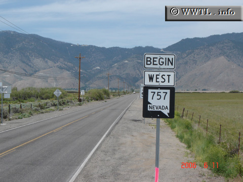
(Westbound State Route 757; Douglas County, Nevada)
--Photo taken by Carlos Rogers in 2006 ✔
Viatype:S2-U
Map Location: 38.97049, -119.77934
Nevada State Route 757, once known as Nevada State Route 57, connects Federal Route 395 with the foothills of the Sierra Nevada.
| |