| | 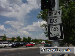
(Eastbound Plumb Lane; Reno, Nevada)
--Photo taken by Carlos Rogers c. 2000s ✔
Viatype:S4-D
Map Location: 39.50574, -119.80297
Route 653 is a short connector in midtown Reno, which sits between Business Route
395 and the Interstate 580/US 395 duplex.
Next
photo>>>
| |