| | 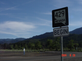
(Southbound State Route 429; Washoe County, Nevada)
--Photo taken by Carlos Rogers c. 2000s ✔
Viatype:S2-U
Map Location: 39.30841, -119.82431
Near Washoe Lake, it appears
Highway 429 was the original two-lane route for US 395. As traffic has grown
considerably between Reno and Carson City over the years, a four-lane (parallel)
bypass was constructed to the east.
| |