United States   

 
(Eastbound State Route 427; Wadsworth, Nevada)
--Photo taken by Carlos Rogers c. 2000s
    
Viatype:S2-U
Map Location: 39.63058, -119.29023

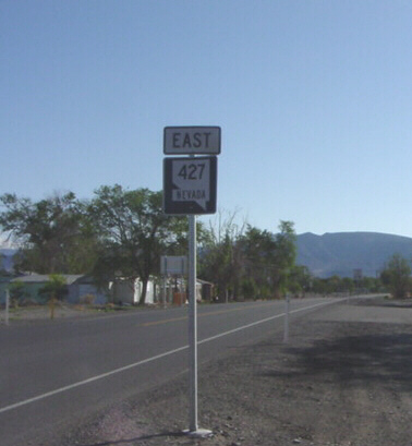
Highway 427 is more or less a loop-route for Interstate 80, and funnels traffic into (and out of) Wadsworth. 

Share with:
XFacebookWhatsAppReddit


Distance Chart for
Nevada 427
Fernley, Nevada
1.8Junction Interstate 80
4.72.9Wadsworth, Nevada
Approximate distance in km
(1 km = 0.621 miles)