| | 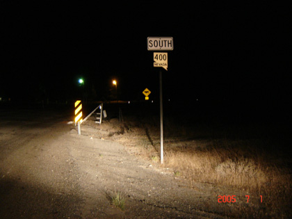
(Southbound State Route 400; Pershing County, Nevada)
--Photo taken by Carlos Rogers in 2005 ✔
Viatype:S2-U
Map Location: 40.67759, -118.06796
Route 400 forms a connection between Mill City and Unionville. Swaths
of desert locusts and mosquitoes line the road in the evening hours. So if
your travel down this road at anytime in the future, it's recommended to
stay in your vehicle during these hours! By the way, do you notice the
black specks on the shoulder? Those are all locusts--each of these are
about two to three inches in length.
| |