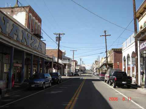
(Southbound State Route 341; Virginia City, Nevada)
--Photo taken by Carlos Rogers in 2006 ✔
Viatype:S2-U
Map Location: 39.31119, -119.64939![]()
Imagine an incipient, derogatorily-minded madman with a six-shooter gun, staring cock-eyed from the middle of the road while wearing a diamond-studded belt over his progressively protruding stomach. Surely, there were quite a few of these burly "folk" in the late 19th century heyday. Or were there?
Next
photo>>>
<<<Previous
photo
Distance Chart for
Nevada 341
Nevada 341
| Junction Alternate Route 395 | |||||
| 6 | Silver City, Nevada | ||||
| 22 | 28 | Virginia City, Nevada | |||
Approximate distance in km
(1 km = 0.621 miles)
(1 km = 0.621 miles)