United States
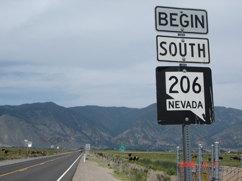
(Southbound State Route 206; Douglas County, Nevada)
--Photo taken by Carlos Rogers in 2006
✔
Viatype:
S2-D
Map Location:
38.99643, -119.7804
In western Nevada, Route 206 stems west of into the shadowlands of the Sierra Nevada Mountains.
Share with:
Share information about this road!
Distance Chart for
Nevada 206
Genoa, Nevada
9.5
Mottsville, Nevada
13
3.5
Sheridan, Nevada
Approximate distance in km
(1 km = 0.621 miles)