The southern terminus.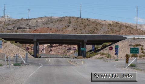
(End Southbound State Route 168; Clark County, Nevada)
--Photo taken by Carlos Rogers in 2005 ✔
Viatype:S2-U
Map Location: 36.66087, -114.57462![]()
![]()
![]()
![]()
![]()
Distance Chart for
Nevada 168
Nevada 168
| Coyote Springs, Nevada | |||||
| 44 | Glendale, Nevada | ||||
| 41 | 3 | Moapa, Nevada | |||
Approximate distance in km
(1 km = 0.621 miles)
(1 km = 0.621 miles)