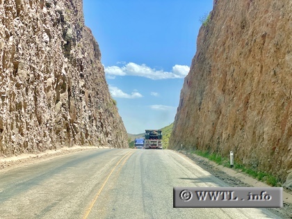
(Eastbound Federal Route 2; Agua Prieta Municipality, Sonora)
--Photo taken by Carlos Rogers in 2021 ✔
Viatype:S2-D
Map Location: 31.32258, -108.75771
English | español
Claustrophobics beware!
Next
photo>>>
<<<Previous
photo
| México |
(Eastbound Federal Route 2; Agua Prieta Municipality, Sonora) --Photo taken by Carlos Rogers in 2021 ✔ Viatype:S2-D Map Location: 31.32258, -108.75771 English | español Claustrophobics beware! Next
photo>>> |
|