| |  (Southbound Calle Decima; Ensenada, Baja
California)
(Southbound Calle Decima; Ensenada, Baja
California)
--Photo taken by Carlos Rogers in 2009 ✔
Viatype:S4-UMap Location:
31.87401, -116.62717
English |
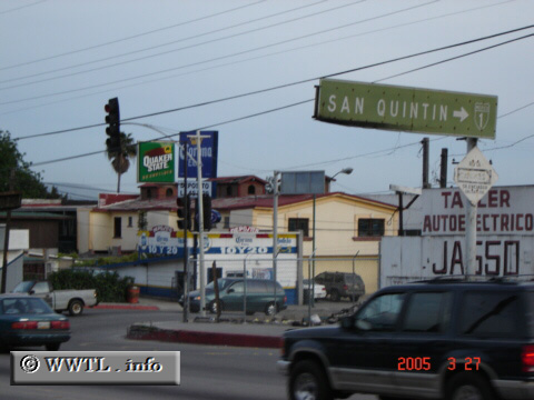
españolHighway 1 runs down the Baja
California peninsula, connecting Tijuana, Ensenada, San Quintin, Guerrero Negro
and Cabo San Lucas. North of Ensenada, the route runs parallel to the
Route 1D
toll road.
Next
photo>>>
|
Distance Chart for
Federal Route 1 | Ensenada | | 1308 | | La Paz | | 1466 | | 1120 | | Lazaro Cardenas | | 1408 | | 1408 | | 1278 | | San José del Cabo | | 100 | | 1408 | | 1408 | | 1566 | | Tijuana |
Approximate distance in km
(1 km = 0.621 miles)
|