United States
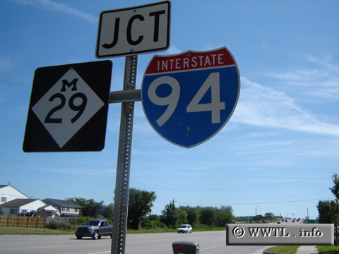
(Eastbound 23 Mile Road; Chesterfield, Michigan)
--Photo taken by Carlos Rogers in 2006
✔
Viatype:
S2-U
Map Location:
42.67432, -82.82547
Route 29 connects the shores of Lake Saint Clair with Michigan State Route 3 and Interstate 94.
Share with:
Share information about this road!
Distance Chart for
Michigan 29
Algonac, Michigan
32
Chesterfield, Michigan
57
25
Saint Clair, Michigan
Approximate distance in km
(1 km = 0.621 miles)