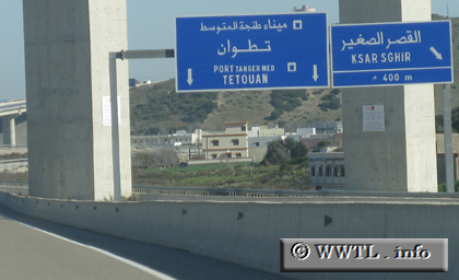
(Eastbound Autoroute 4; Ksar Sghir, Tanger-Tetouan)
--Photo taken by Carlos Rogers in 2012 ✔
Viatype:F4-D
Map Location: 35.82478, -5.56068
English | español | français
Autoroute 4 skirts the southern peripheries of Tanger City, connecting the Atlantic Coast to Port Tanger-Med.