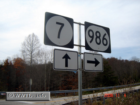
United States
(Junction Kentucky State Route 986; Carter County, Kentucky)
--Photo taken by Carlos Rogers in 2006
✔
Viatype:
S2-U
Map Location:
38.223, -83.01485
Route 986 follows the westernmost finger of Grayson Lake.
Next photo>>>
Share with:
Share information about this road!
Distance Chart for
Kentucky 986
Junction Kentucky 7
24
Olive Hill, Kentucky
Approximate distance in km
(1 km = 0.621 miles)