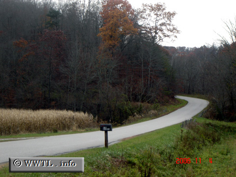
(Southbound State Route 863; Elliott County, Kentucky)
--Photo taken by Carlos Rogers in 2006 ✔
Viatype:S2-U
Map Location: 38.15718, -82.92973![]()
The route begins.
Distance Chart for
Kentucky 773
Kentucky 773
| Denton, Kentucky | |||||
| 3.3 | Grayson, Kentucky | ||||
| 1.8 | 2.6 | Hitchins, Kentucky | |||
Approximate distance in km
(1 km = 0.621 miles)
(1 km = 0.621 miles)