| | 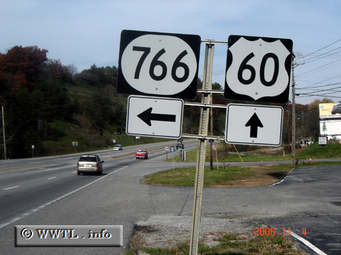
(Junction Kentucky State Route 766; Boyd County, Kentucky)
--Photo taken by Carlos Rogers c. 2000s ✔
Viatype:S4-D
Map Location: 38.44364, -82.68082
Route 766 provides a connection
between Ashland and the Ashland Community & Technical College.
Next
photo>>>
| |