| | 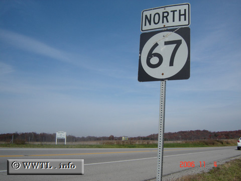
(Northbound State Route 67; Carter County, Kentucky)
--Photo taken by Carlos Rogers in 2006 ✔
Viatype:S2-U
Map Location: 38.37624, -82.81923
Highway 67, which stretches from
Interstate 64 to the Ohio River, allows Interstate motorists to bypass Grayson
and developed land into the Ohio Valley.
| |