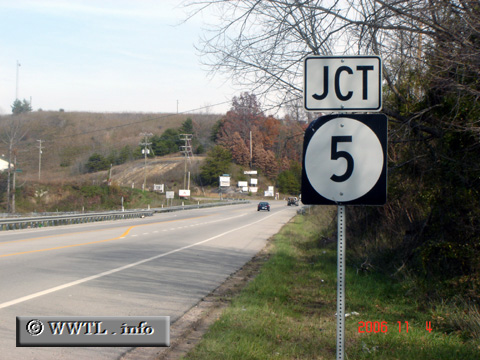
(Junction Kentucky State Route 5; Boyd County, Kentucky)
--Photo taken by Carlos Rogers in 2006 ✔
Viatype:S4-D
Map Location: 38.38536, -82.74657
Route 5 is the shortest, single-digit route in Kentucky. She spans eleven miles from one terminus to the next, connecting the vicinity of Cannonsburg with the Ohio Valley.