| | 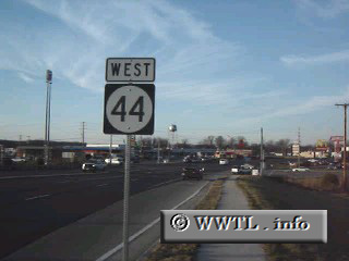
(Westbound State Route 44; Shepherdsville, Kentucky)
--Photo taken by Carlos Rogers c. 2000s ✔
Viatype:S4-D
Map Location: 37.99125, -85.70634
Route 44 snakes a curvy path
along its central KY routing. The route helps form a connection between
Louisville and Lexington, for those interested in a scenic journey.
| |