| |
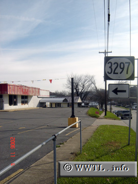
(Junction Kentucky State Route 3297; Grayson, Kentucky)
--Photo taken by Carlos Rogers in 2006 ✔
Viatype:S2-U
Map Location: 38.33144, -82.94359
Route 3297 is a former
constituent of Federal Route 60, connecting downtown Grayson to outer rural areas to the east.
|
|