| | 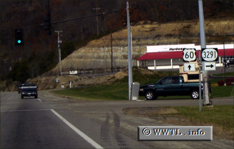
(Junction Kentucky State Route 3291; Boyd County, Kentucky)
--Photo taken by Carlos Rogers in 2006 ✔
Viatype:S2-U
Map Location: 38.39997, -82.71113
Route 3291 is a short connector in
Boyd County, allowing Ashland motorists a convenient shortcut into Cannonsburg.
| |