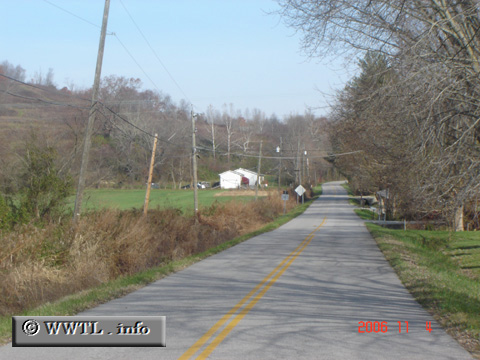
(Northbound State Route 1959; Carter County, Kentucky)
--Photo taken by Carlos Rogers in 2006 ✔
Viatype:S2-U
Map Location: 38.34417, -82.95593![]()
Changing weather patterns have produced barren trees.
Distance Chart for
Kentucky 1959
Kentucky 1959
| Junction Kentucky 9 | |||
| 2 | Junction Kentucky 1947 | ||
Approximate distance in km
(1 km = 0.621 miles)
(1 km = 0.621 miles)