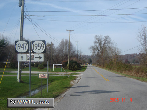
United States
(Westbound State Route 1947; Carter County, Kentucky)
--Photo taken by Carlos Rogers in 2006
✔
Viatype:
S2-U
Map Location:
38.34402, -82.95591
Route 1947 runs northerly parallel to Interstate 64.
Share with:
Share information about this road!
Distance Chart for
Kentucky 1947
Grayson, Kentucky
7.5
Junction Federal Route 60
2.1
5.4
Junction Kentucky 7
Approximate distance in km
(1 km = 0.621 miles)