United States   

 
(Southbound State Route 180; Boyd County, Kentucky)
--Photo taken by Carlos Rogers in 2006
Viatype:F4-D
Map Location: 38.38697, -82.71628

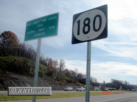
Highway 180, about two miles long, acts as a cut-off between Federal Route 60 and Kentucky State Route 3.  

Share with:
XFacebookWhatsAppReddit


Distance Chart for
Kentucky 180
Cannonsburg, Kentucky
1.2Junction Federal Route 60
5.24Junction Interstate 64
Approximate distance in km
(1 km = 0.621 miles)