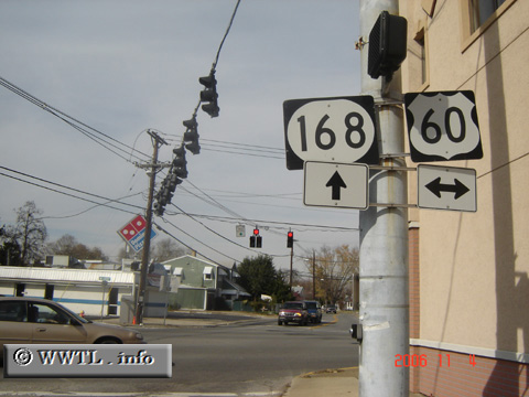
United States
(Northbound State Route 168; Ashland, Kentucky)
--Photo taken by Carlos Rogers in 2006
✔
Viatype:
S2-U
Map Location:
38.4653, -82.659
Route 168 connects the inland neighbourhoods of Ashland.
Share with:
Share information about this road!
Distance Chart for
Kentucky 168
Junction Federal Route 60
4.4
South Ashland, Ashland
2.3
2.1
Westwood, Kentucky
Approximate distance in km
(1 km = 0.621 miles)