| | 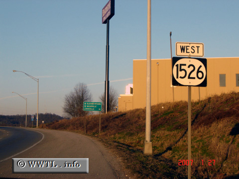
(Westbound Brooks Hill Road.; Bullitt County, Kentucky)
--Photo taken by Carlos Rogers in 2007 ✔
Viatype:S2-U
Map Location: 38.06384, -85.69538
Route 1526 covers hilly terrain in
Bullitt County. Along its routing, the route gets referred to as Knob
Creek Road and Brooks Hill Road.
| |