| | 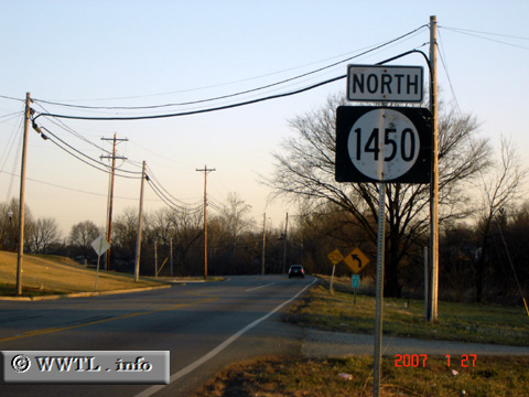
(Northbound Blue Lick Road; Fox Chase, Kentucky)
--Photo taken by Carlos Rogers in 2007 ✔
Viatype:S2-U
Map Location: 38.06434, -85.6938
Highway 1450, which runs
easterly parallel to Interstate 65 in the Louisville suburbs, connects Fox Chase with
Okolona.
| |