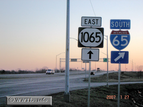
(Eastbound Outer Loop; Louisville, Kentucky)
--Photo taken by Carlos Rogers in 2007 ✔
Viatype:F4-D
Map Location: 38.13679, -85.71194
The Outer Loop serves the southern suburbs of Louisville.
| United States |
(Eastbound Outer Loop; Louisville, Kentucky) --Photo taken by Carlos Rogers in 2007 ✔ Viatype:F4-D Map Location: 38.13679, -85.71194 The Outer Loop serves the southern suburbs of Louisville. |
|