| | 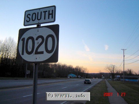
( (Southbound National Turnpike; Jefferson County,
Kentucky))
--Photo taken by Carlos Rogers in 2007 ✔
Viatype:S4-D
Map Location: 38.11642, -85.74791
Route 1020, which runs adjacent
to the Seaboard System Railroad for much of its southern routing, bridges a gap
between Louisville and Shepherdsville.
| |