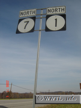
(Northbound State Route 1/Kentucky State Route 7. Grayson, Kentucky)
--Photo taken by Carlos Rogers in 2006 ✔
Viatype:S2-U
Map Location: 38.3514, -82.93991
Highway 1 connects the Ohio Valley with Cat Fork, a stream in Lawrence County.
| United States |
(Northbound State Route 1/Kentucky State Route 7. Grayson, Kentucky) --Photo taken by Carlos Rogers in 2006 ✔ Viatype:S2-U Map Location: 38.3514, -82.93991 Highway 1 connects the Ohio Valley with Cat Fork, a stream in Lawrence County. |
|