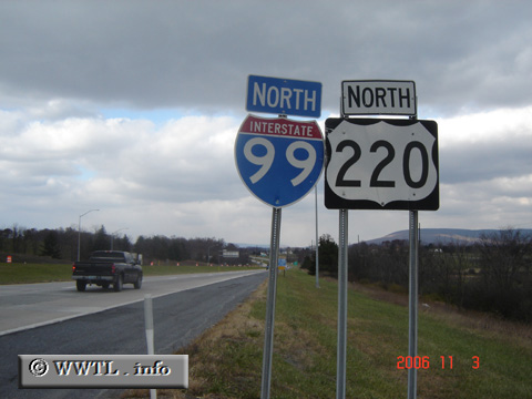
(Northbound Bud Shuster Highway; Bedford County, Pennsylvania)
--Photo taken by Carlos Rogers in 2006 ✔
Viatype:F4-D
Map Location: 40.05887, -78.5178
Interstate 99, which is the newest two-digit, north-south Interstate as of 2006, connects lower Pennsylania with State College. The route may annex Federal Route 15 to the north of Interstate 80, potentially reaching Interstate 86 in New York.
|

