| | 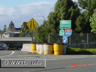
(Northbound Castro Street @ Interstate 980/CA-24; Oakland, California)
--Photo taken by Carlos Rogers c. 2000s ✔
Viatype:F4-D
Map Location: 37.80532, -122.278
Interstate 980 is a short freeway that connects the MacArthur and Nimitz Freeways.
Next photo>>>
| |