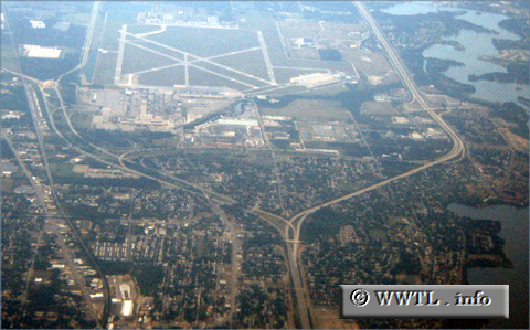
(Eastbound Interstate 94; Washtenaw County, Michigan)
--Photo taken by Carlos Rogers in 2006 ✔
Viatype:F8-D
Map Location: 42.23174, -83.5802![]()
The sun shines over the Interstate 94's righthand split. Traffic can bear left to reach the Willow Run Airport, via Federal Route 12.
Next photo>>>
<<<Previous
photo
Distance Chart for
USA Interstate 94
USA Interstate 94
| Billings, Montana | |||||||||
| 2031 | Chicago | ||||||||
| 2494 | 463 | Detroit | |||||||
| 1891 | 148 | 611 | Milwaukee, Wisconsin | ||||||
| 1349 | 691 | 1164 | 543 | Minneapolis | |||||
Approximate distance in km
(1 km = 0.621 miles)
(1 km = 0.621 miles)