The sign says it all. Next
photo>>>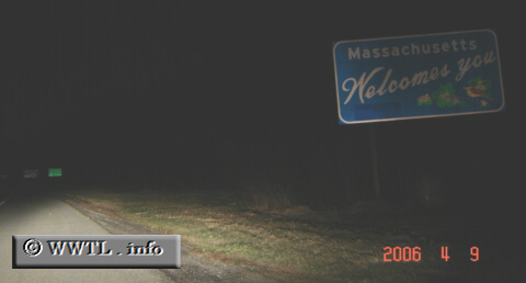
(Southbound Interstate 91; Vermont-Massachusetts
stateline)
--Photo taken by Carlos Rogers c. 2000s ✔
Viatype:F4-D
Map Location: 42.72995, -72.5702![]()
<<<Previous
photo
![]()
![]()
![]()
![]()
Distance Chart for
USA Interstate 91
USA Interstate 91
| Derby Line, Vermont | |||||||
| 408 | Hartford, Connecticut | ||||||
| 469 | 63 | New Haven, Connecticut | |||||
| 367 | 42 | 103 | Springfield, Massachusetts | ||||
Approximate distance in km
(1 km = 0.621 miles)
(1 km = 0.621 miles)